What creating a Digital Twin really means
Is Digital Twin just a buzzword or there is more? Let’s try to understand what it may means to you.
Tales from the GIS is a geospatial journey into the fascinating world of Geographic Information Systems, telling you stories about nature and world.
If you want to know about the internals about mapping, how digital maps works, navigation systems and your smartphone geolocation, geographic projections, 2D and 3D data visualization and latest trends in GIS development: TFTG is the right place to subscribe for free!
Go to the Tales from the GIS channelIs Digital Twin just a buzzword or there is more? Let’s try to understand what it may means to you.
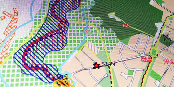
Do you know how the GPS works?
Deliver your project without errors or missing files using an awesome plugin called QPackage!
Let’s export your QGIS 3 project for the Web using an awesome plugin called QGIS2Three.js!
Draw some points in a layer and add this symbology to have a beautiful forest in your map.
Features, improvements and a breaking change about project compatibility
Interact with the QGIS graphical user interface, work with your project with ease and automatize your tasks
Reassigning one or more values in a raster dataset is just a matter of few clicks
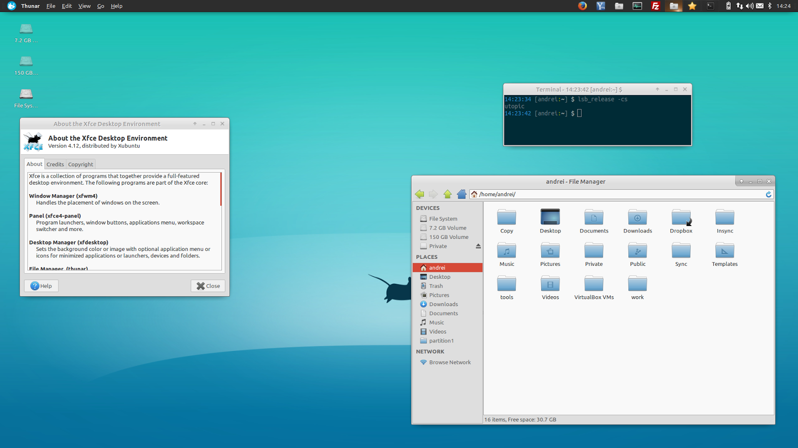
Sono Eduard Roccatello, nato a Rovigo nel 1983 e grande appassionato di tecnologia fin dall’età di sette anni, quando ricevetti il mio primo personal computer. Da lì nacque la mia passione per l’informatica, che mi portò a diventare prima un programmatore e poi un ingegnere. Nel tempo mi sono dedicato a molti progetti: se utilizzate Linux, FreeBSD o OpenBSD è possibile stiate utilizzando qualcosa fatto da me, soprattutto se il vostro ambiente desktop è Xfce.
I’m Eduard Roccatello, CTO of 3DGIS, an Italian GIS company. I love working on innovative solutions: things that change the status quo about spatial data development and usage.
My day is full of math and big data. I like to be surrounded by interesting and skilled people. I really do care about user experience and software usability.
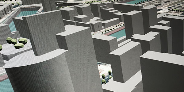
Leading 3D geospatial R&D, I’ve learnt to manage hard tasks on tight timelines. I’m also the lead software architect of the Cityvu project and a long time developer of the Xfce Desktop Environment.
Master degree in Computer Engineering, 2008
University of Padua
Bachelor degree in Computer Engineering, 2005
University of Padua
Industrial electrical engineering technician, 2002
ITIS F.Viola Rovigo
During my work experience, I learned a lot of programming languages and softwares, and I always strive to keep learning new things during my life. That’s why I love challenging tasks that bring in innovative solutions.
During my research activities, I had the time and the luck to publish some papers of mine into international magazines and books.
Also, for more than 10 years I have been a writer for a great informatics magazine called Linux PRO.